Have questions?
what is simTainment™?
request more information
Product Brochure
download now
-
- discover our unique selection of simTainment™ products for Microsoft Flight Simulator and X-Plane
- GTN 750/650 Touch™
- GNS 530W/430W V2™
- General Aviation T-Stack
- Analogue Navigation Gauges
- Wx500 XP™ Weather Radar
- See all
-
- combining traditional training and simulation expertise with novel approaches from the gaming industry to provide RealTime Training™
- RealTime Training™
- Microsoft ESP™
- See all
-
- we serve consumers, developers and enterprises helping deliver lowest overall cost and greatest competitive advantage
- Services we offer
- Industries we serve
- White papers
- About us
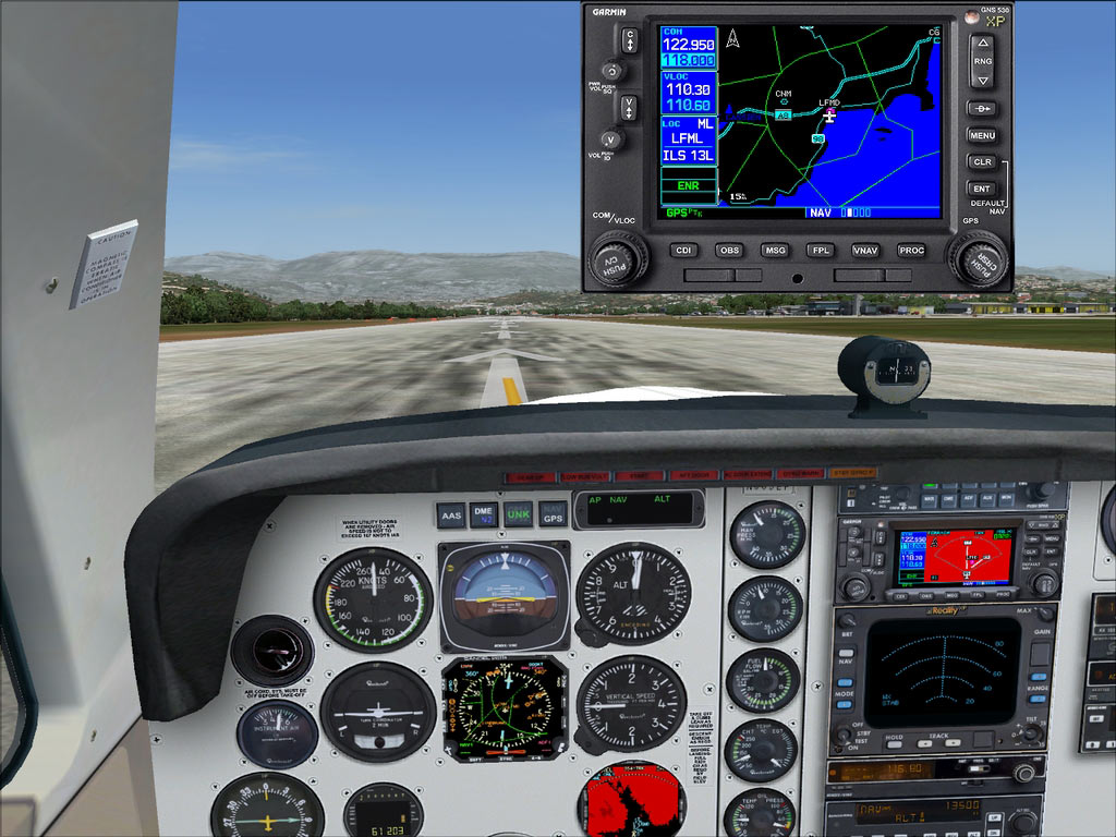
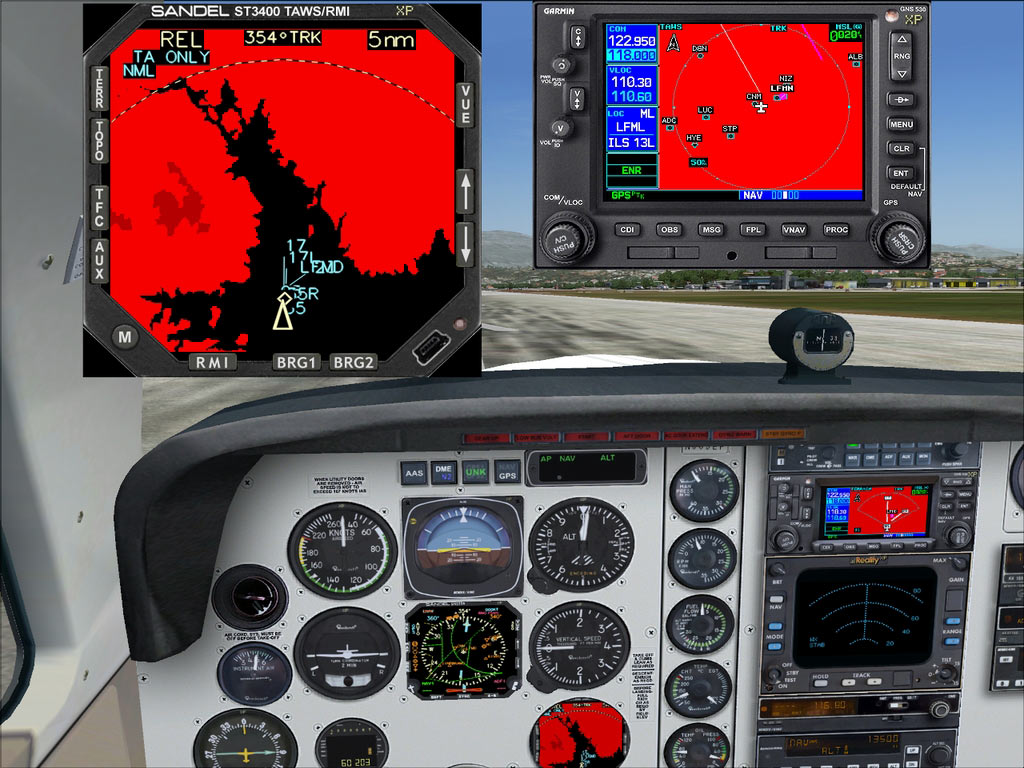
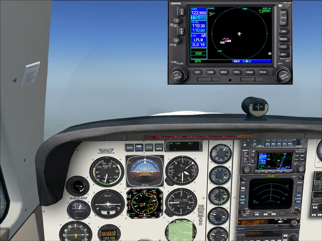
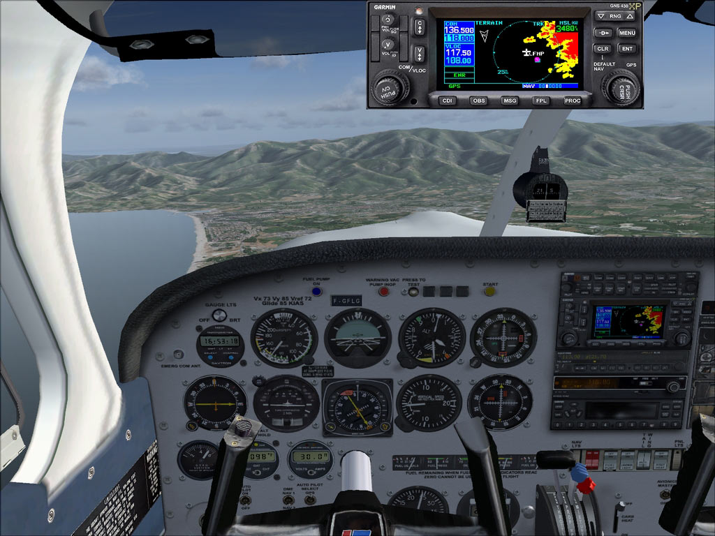
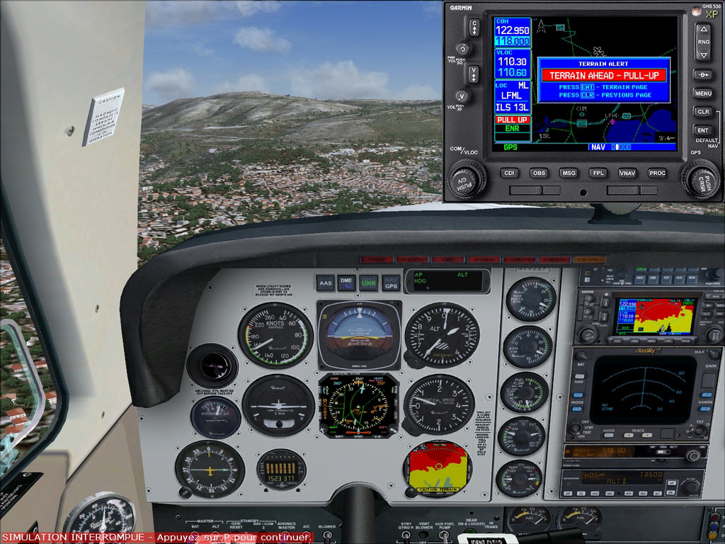
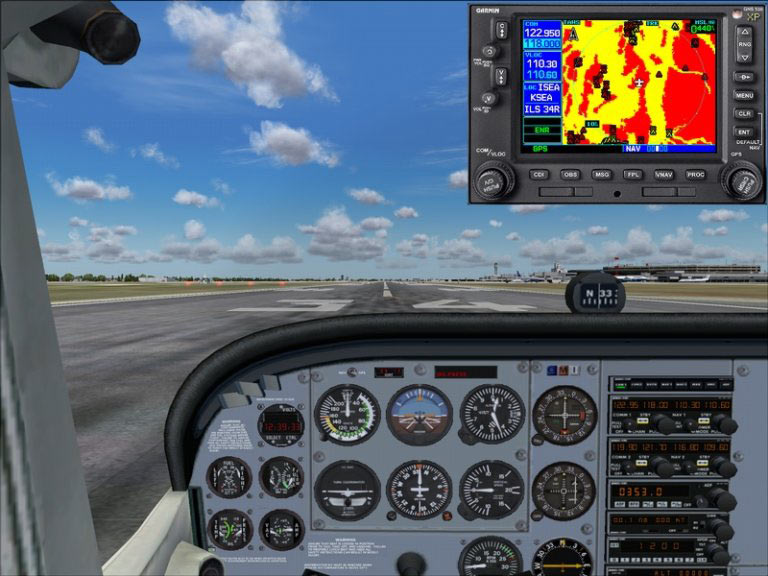
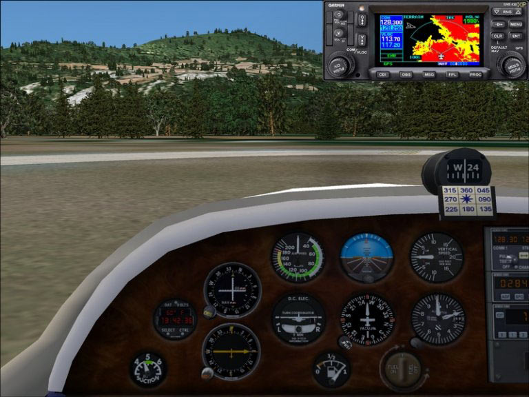
GNS 530W XP seamlessly integrates built-in terrain and navigation databases
Providing a clear, concise picture of where you are and where you’re heading, using the Garmin Ltd. Trainer huge Jeppesen® database containing location reference for all airports, VORs, NDBs, Intersections, Flight Service Stations, published approaches, SIDs/STARs, Special Use Airspace and geopolitical boundaries.
A detailed basemap clearly shows airports, cities, highways, railroads, rivers, lakes, coastlines and more. Using information from the built-in terrain and U.S. obstacles databases, the 530W XP displays color coding to graphically alert you when proximity conflicts loom ahead.
Note: this gallery presents both the 430W XP and the 530W XP as they share the same functionality.