Have questions?
what is simTainment™?
request more information
Product Brochure
download now
-
- discover our unique selection of simTainment™ products for Microsoft Flight Simulator and X-Plane
- GTN 750/650 Touch™
- GNS 530W/430W V2™
- General Aviation T-Stack
- Analogue Navigation Gauges
- Wx500 XP™ Weather Radar
- See all
-
- combining traditional training and simulation expertise with novel approaches from the gaming industry to provide RealTime Training™
- RealTime Training™
- Microsoft ESP™
- See all
-
- we serve consumers, developers and enterprises helping deliver lowest overall cost and greatest competitive advantage
- Services we offer
- Industries we serve
- White papers
- About us
GNS 530W XP seamlessly integrates built-in terrain and navigation databases
Providing a clear, concise picture of where you are and where you’re heading, using the Garmin Ltd. Trainer huge Jeppesen® database containing location reference for all airports, VORs, NDBs, Intersections, Flight Service Stations, published approaches, SIDs/STARs, Special Use Airspace and geopolitical boundaries.
A detailed basemap clearly shows airports, cities, highways, railroads, rivers, lakes, coastlines and more. Using information from the built-in terrain and U.S. obstacles databases, the 530W XP displays color coding to graphically alert you when proximity conflicts loom ahead.
Note: this gallery presents both the 430W XP and the 530W XP as they share the same functionality.
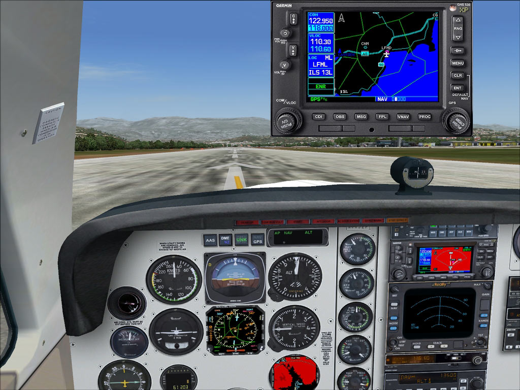
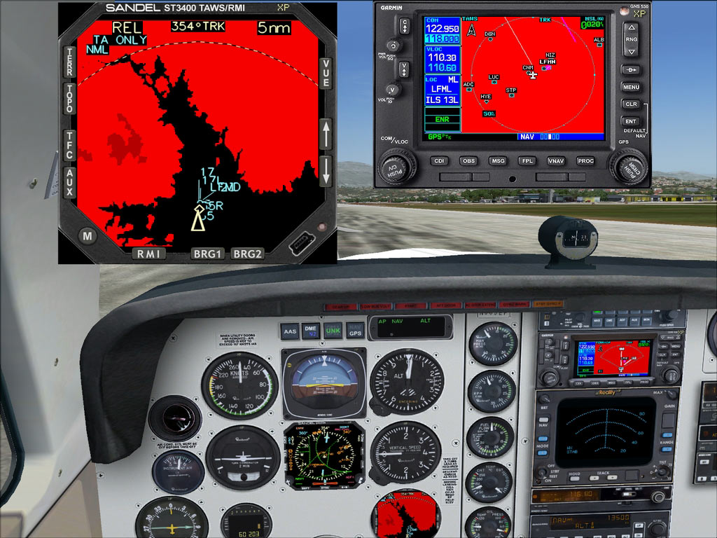
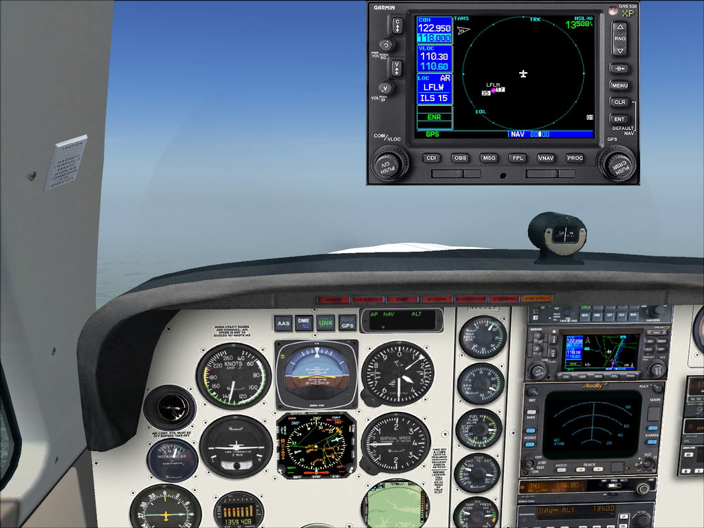
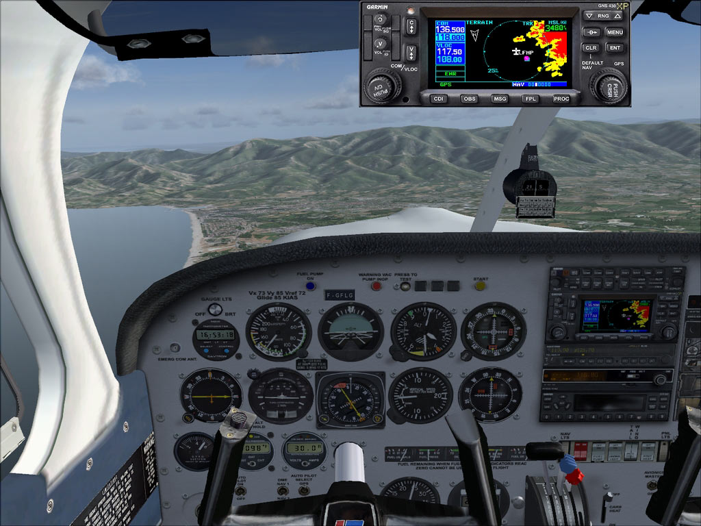
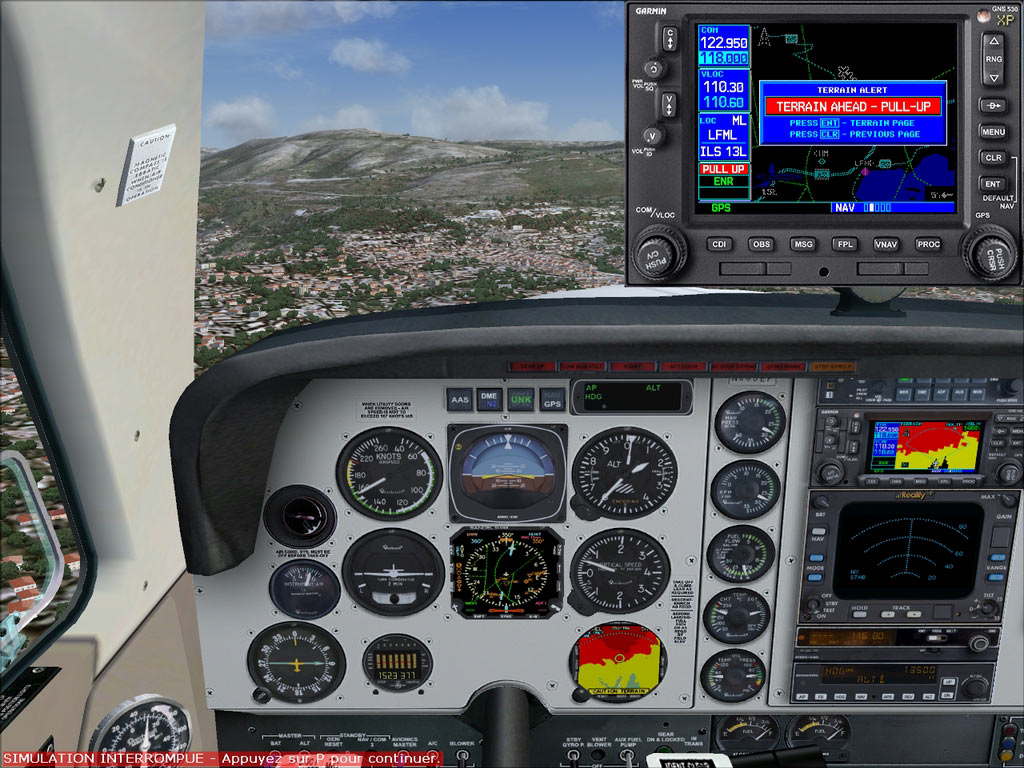
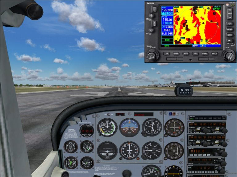
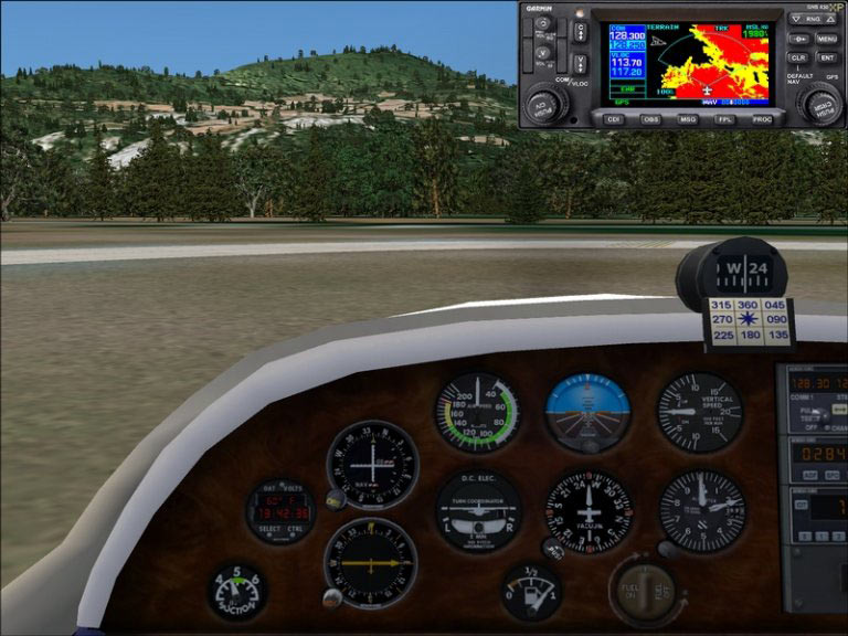
Although the screenshots above are from Microsoft Flight Simulator, the GNS WAAS Simulation functionality is the same in both Flight Simulator and XPlane